Connection to the outside world is part of modern life and on Yanula Blue we are lucky enough to be able to share our thoughts via this website and provide you with our location through technical systems onboard.
The post below is a technical one and will explain how we connect to the outside world, going in to detail on our systems setup and the hardware and software we use.
What systems do we use?
Starlink
The cruising community describes this technology as a game changer and it truly is. Via a small dish (called Dishy), the technology links our boat to the internet via satellites that Elon Musk has been busy placing in low earth orbit. It gives us fast internet communications wherever we are, even at sea.
We chose the Starlink mini, predominantly for its compact design and for its low power draw.
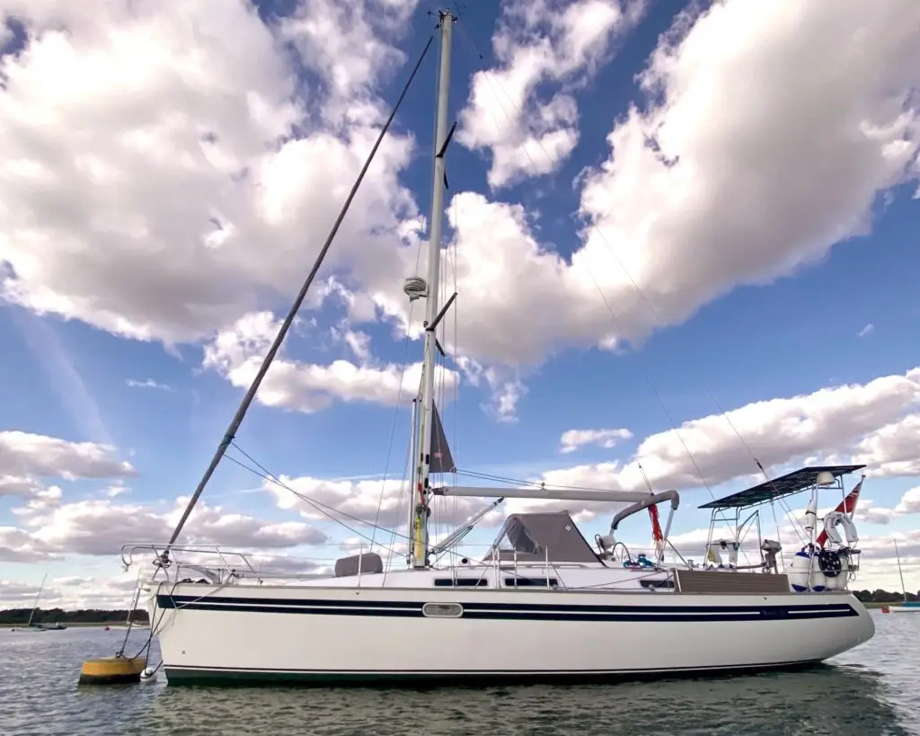
We mounted Dishy on the solar arch, taking care not to shade the panels. Dishy’s stand has a built in fall so that rain and snow will run off and we chose to orientate it facing aft.
To power Dishy, it is supplied with a 240v to 48v socket transformer, however we didn’t want to plug the power in to our 240 power supply as it requires us to have our inverter switched on. (For details about our power setup on Yanula Blue see our post Solar Upgrade. )
Dishy’s specifications state that it will work with a power supply between 12 and 48 volts, however we had read on forums that supplying 12v directly from the boat (out boat’s DC system runs at 12 volts) can lead to connectivity dropping out.
During installation we just happened to have a small solid state 12 to 19 volt transformer on the boat and a few hours of altering and connecting wires had fishy connected to our 12 volt system.
Router
Dishy has an integrated router and happily the signal is strong enough to provide a strong signal all over the boat. So there we had it, connected to the outside world and so phones and laptops as well as our onboard systems could then be connected to the internet.
We pay monthly for Starlink’s Roam Unlimited package. It has given us data connection from France and all over the Atlantic up to 12 miles offshore. When we stray further offshore we either endure, or enjoy, a period of disconnection. However, we also have the option to switch on Global Priority which gives us ocean going connectivity, but priced per GB, over and above our subscription cost.
For our passages, the connectivity was invaluable, it allowed us to check weather and use sophisticated routing tools to ensure we were not hitting too heavy weather. It also enabled us to keep in touch via WhatsApp.
ICE – In Case of Emergency
Whilst we are on a long passage the connectivity Starlink provides, in combination with WhatsApp, enables us to run a small group where every 24 hours we updated our location to our trusted friend Neil and Chris’ brother Kev. These two have permitted us to share their contact details with various organisations around the world so that if we need help and can’t be contacted they have the most recent information.
Below is an example of what we share daily:
Boat name: Yanula Blue
People on board: 3
On passage from: Cape Verde to Grenada
Date/time: Day 16 07/02/2026 10.00 UTC
GPS position: 11 °58.65’N 61°42.39’W
Distance Travelled: 2213 nm
DIstance To Destination: approx 12 nm
Course Over the Ground: 279°M then pilotage
Speed Over the Ground: 5.6 kts average last 24 hrs
True Wind Speed: 10-15 kts E
Wave Height: 0.5 -1.0 m
Weather: sunny baby, it’s the Caribbean!!!!!!
Sail Configuration: poled out Genoa and gennaker. Shortly about to put away.
Boat near: now following Sea Dreamer in.
Magic Moments: sighting Grenada.
Not so magic: everything is slightly unclean! 😂
Iridium Go
This additional technology is a fall back position to communicate should our Starlink fail.
It works on yet another satellite system and allows us to send short texts and emails and download small weather files. This system also has an emergency button and will act similarly to the EPIRB (below), however, it connects to an American emergency response center (spelt for the Americans!) where we have also shared the details of our two points of contact.
EPIRB
The EPIRB acronym stands for Electronic Position Identification Radio Beacon and is a piece of important technology we carry onboard in case of emergencies.
On the unit’s top is a small button that we can press to let the authorities know where we are and that we need assistance. It will work anywhere in the world and connects via a different satellite system than Starlink, so we actually have different emergency contact methods.
The signal is transferred to the UK coastguard in their headquarters in Falmouth and they would coordinate a rescue from there.
The EPIRB is portable and is the first item we would take if Yanula Blue was sinking and we needed to step in to the life raft.
The EPIRB registration system requires us to have local points of contact and so our two volunteers’ details have been uploaded so that the coastguard can enquire, directly to them, about our latest plans if required.
Hopefully, if there was an emergency, Kev and Neil would be contacted via one of these methods of communication – directly by us using Starlink or Iridium Go, or via an emergency response centre.
Predictwind’s Data Hub
Part of the organisation of the Viking rally, the group who supported us as we crossed the Atlantic from Gran Canaria, via Cape Verde to Grenada , we were required to be able to share our position via Predictwind’s system.
There are varying ways to share our position, and in fact our Iridium Go can share our position with this system, however, we chose to use the Datahub to share as it gives us a really nice graphic on the route we’ve taken and shares some additional data.
The data hub connects to our internal NMEA system. NMEA is the communications protocol used on boats to allow systems like GPS, depth, wind strength and direction, AIS (Automatic Identification System) to be shared in to our plotters and navigating equipment.
Once the NMEA is connected and also connected to our Starlink it shares this data over our intranet so that we can see this data on navigation system apps on our phones and tablets (we currently use Imray Navigator, but may also use Navionics).
The datahub also distributes our position and the observed local wind speed to our PredictWind tracker and is also available to others so they can observe what wind strength we are experiencing. Our location page presents the tracking information and you can also see it at https://www.predictwind.com/tracking/Yanula_Blue
Victron’s Cerbo GX
The Cerbo GX collates information and controls our electrical charging and inversion systems but it also has software integrated in to its operating system (OS) that allows information to be used and shared in other forms.
By loading the large OS it opens up two further pieces of software;
Signal K
Signal K is an open protocol software package that can be run on many different systems including a Raspberry Pi (which we don’t have yet!) and for which Victron includes a specific version in their operating system. Once set up via a cable connection from the NMEA backbone to the Cerbo GX and ensuring the software parameters are correct the NMEA data is shown in the dashboard and via plugins, the data can be used.
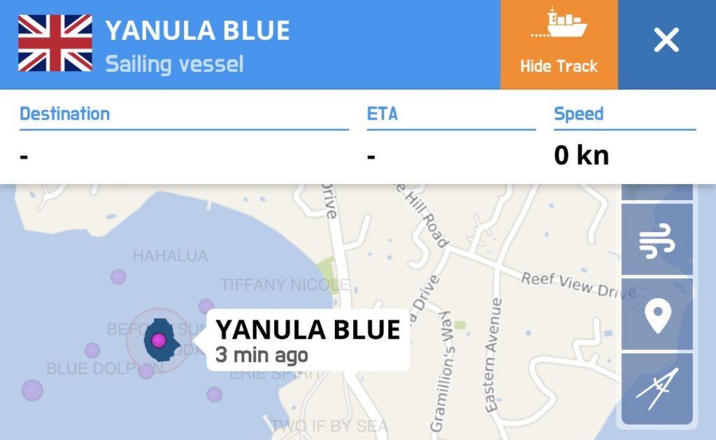
A plugin called AIS data forwarder is used to share our location and that of other boats around us to both MarineTraffic and VesselFinder. AIS is a localised system that allows vessels within around 15 miles of each other to share data via VHF on course, speed and direction and is used for collision avoidance.
The statistics of our VesselFinder and MarineTraffic stations can be seen by following the links.
There is a further plugin that sends our location to Noforeignland and again, this creates and records our track. You can see the track on our location page or follow this link to view it on the web https://www.noforeignland.com/map/boat/yanulablue/journey